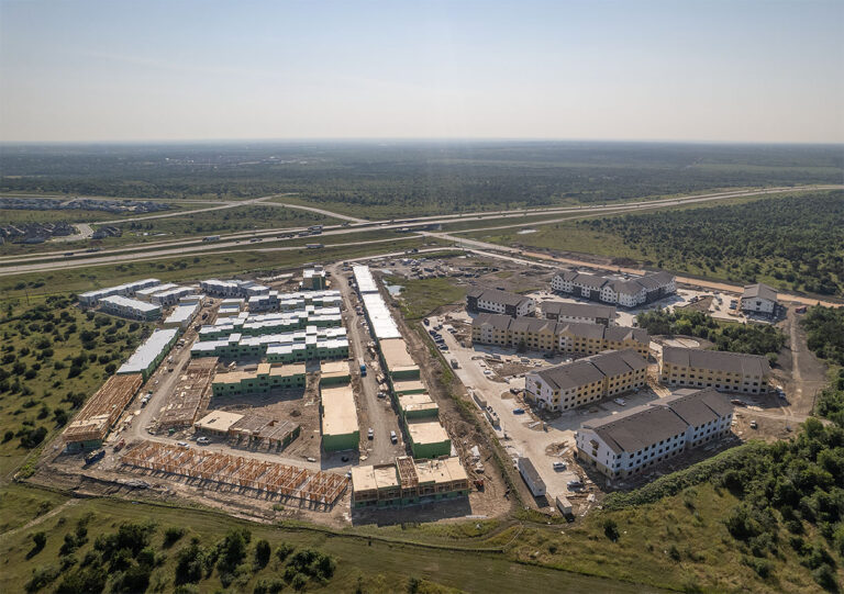
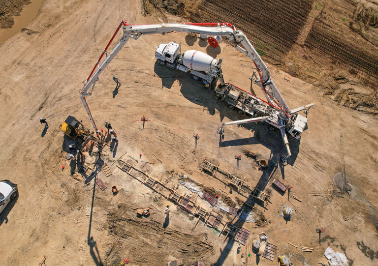
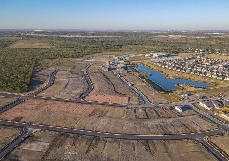
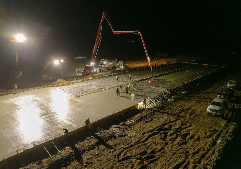
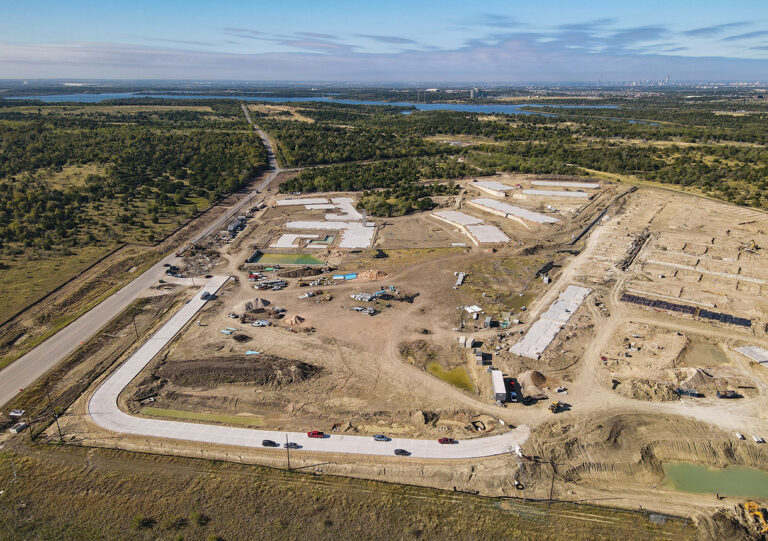
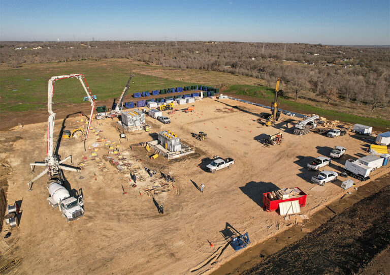
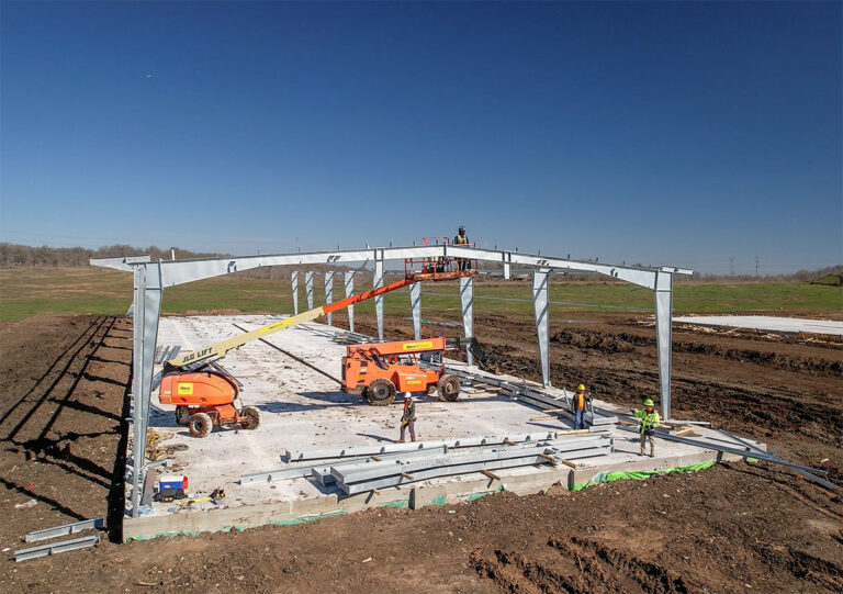
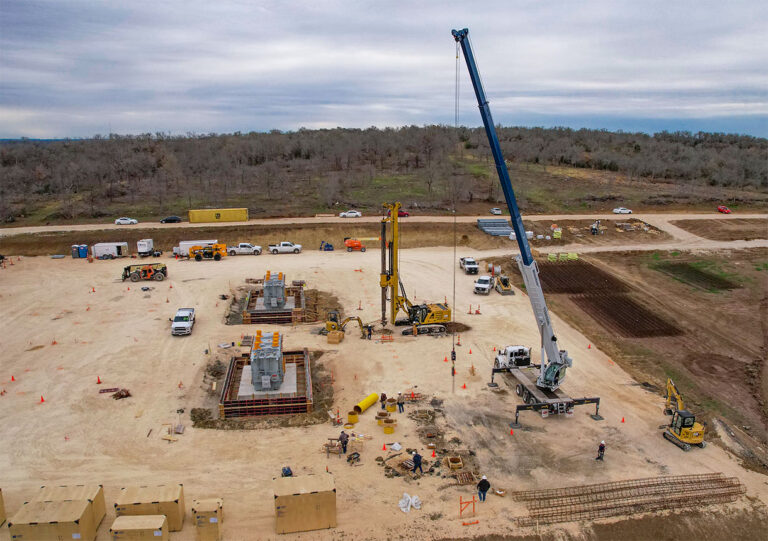
Construction: Tracking and Reporting

Implementing aerial imaging for tracking construction project progress has introduced new levels of convenience and cost-effectiveness. Through scheduled aerial flights, we ensure seamless coordination of subcontractors, monitor material usage, and promptly address supply chain or weather-related delays. This proactive approach not only minimizes costs but also expedites project completion. By pinpointing crucial details, eliminating bottlenecks, and ensuring accountability across multiple teams, we help you achieve timely and successful project outcomes.

Development Updates

Enhance communication with investment groups and local municipalities by showcasing the progress of land conversion. Our data-driven approach offers a chronological perspective of your project, facilitating more precise planning and marketing strategies. This not only streamlines the conversion of investment outlays into profitability but also minimizes potential delays in the process.

Construction Inspection and Progress Reports

Maintain real-time project oversight through remote monitoring. Ensure accountability with photographic documentation of on-site progress. SVI pilots bring substantial construction site experience to the table, conducting safe flights in strict adherence to site-specific safety requirements.

Beyond our standard aerial photo and video services, SVI also provides photogrammetric mapping, offering a unique perspective that captures the evolution of your project over time. This innovative approach enables us to generate historic bird's eye views, complete with elevation data and point clouds. By doing so, we not only document your project but also allow 'the big picture' to come into focus, providing invaluable insights for comprehensive analysis and decision-making.

Photogrammetry Mapping

Effortlessly monitor construction site progress through the use of photogrammetric/orthomosaic mapping. Utilizing this technique allows us to offer a comprehensive ‘satellite’ view of your work site, tracking developments with precision. Additionally, we can extract 3D point clouds from this data, empowering you with valuable information for computations, cost estimates, and meticulous material tracking.

Given the amount of variations from unique job sites, each presenting its own set of safety concerns, SVI specializes in building custom flight profiles to capture imagery precisely at the right time and location. Our operations can be flexibly scheduled, whether it's during crucial events for documentation or during activity pauses to gather data on work completed within specific timeframes. To discuss the specific needs of your project and to explore a comprehensive, custom-built solution, please don't hesitate to reach out to us at:

Service Features

Rates

Extra Value Options